Are You Looking For The Best Views in Switzerland (No Hiking Required)?
Few countries can match the concentration of awe-inspiring mountainous terrain and scenic vistas that Switzerland offers. And in this post, the best mountain views in Switzerland.
Good news: While Switzerland is a paradise for hikers, it is also true that many of the mountain summits can be reached without any hiking at all (and in winter, these mountain peaks offer incredible options to ski).
Looking at it from an objective angle, this might actually explain some of my passion for Switzerland. After all, one of the things I enjoy most are the great views – this, in combination with only a little or medium physical exercise, is my kind of destination.
Luckily, Switzerland offers great options for those who do not want to miss out on these views but cannot hike for long. But it is also perfect for those who enjoy medium or strenuous hikes – get up via cable car/gondola/funicular to the mountain tops and then start your hikes from there.
Over the last few years, I have had the chance to get to the top of many mountains without hiking, and I loved each of the mountain views. Here are my favorite mountain summits in Switzerland that do not require any (or hardly any) hiking.
Click here to find out about the best places to stay in Switzerland – I have listed the best places and best hotels (for all budgets) for you in this post.
Disclaimer: This post contains affiliate links, which means I might earn a small commission when you buy a product/service via my link (at no extra cost to you). More about it here.
BEST MOUNTAIN VIEWS IN SWITZERLAND
Ready to find out about the great mountain views in Switzerland that come without much effort?
While some mountains seem made for hiking, others are made for hiking AND train/cable car rides. Though this list is not complete and has not included all of the mountains in Switzerland accessible by cable car, these are my twelve favorite mountain views without having to hike too much.
Swiss Travel Pass
The Swiss Travel Pass offers unlimited travel on Switzerland’s extensive public transportation network, including trains, buses, and boats. It also provides free or discounted entry to over 500 museums and numerous mountain excursions.
Available for consecutive 3, 4, 8, or 15 days, the pass simplifies travel for tourists, eliminating the need for individual tickets. It’s especially beneficial for those planning extensive travel across different regions of Switzerland, offering flexibility and cost savings.
Several mountain excursions are included in the Swiss Travel Pass – for most others, you can get a 50% discount!
CHECK OUT SWISS TRAVEL PASSES HERE
Mount Pilatus
- Altitude: 2,128 meters above sea level (6,982 feet)
- Location: In the region of Lucerne, Central Switzerland
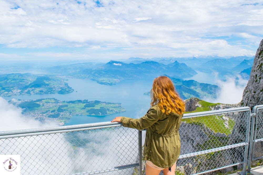
The panorama from Mount Pilatus has made it into my “top three of the best mountain views in Switzerland”.
Mount Pilatus, a prominent peak towering over Central Switzerland, is renowned for its cliffs and jagged crests. This mountain offers breathtaking panoramic views encompassing the Swiss Alps and Lake Lucerne.
Accessible via the world’s steepest cogwheel railway (at least in the warmer months), cable cars, and hiking trails, Pilatus is a hub for adventurers and nature enthusiasts.
There are towns in Switzerland that are not as busy as it was on Mount Pilatus. Paragliding, hiking, people-watching, dining, suspension rope park. Mount Pilatus is indeed its own village up in the mountain. This is a great place to have some fun, aside from enjoying the views!
Legend holds that the mountain was once a dragon’s abode, adding a mystical allure to its natural beauty.
Pilatus is a year-round destination, popular for both summer hikes and winter sports – thus avoid the weekends/Swiss national holidays on a sunny day, or head there very early, because it is one of the busiest places.
HOW TO GET UP MT PILATUS
- Lucerne is the nearest place to Mount Pilatus. From there, get the train to Alpnachstad and then take the cogwheel train up. Or buy a golden ticket and hop on a boat in Lucerne to Alpnachstad and then take the cogwheel.
- The other option is to take the cable car to get up or down. For that, you have to take a bus from Lucerne Central Station to Kriens stop and then walk five minutes to get to the cable car station. I definitely recommend using different means for getting up/down.
PRICES FOR ADULTS
- Prices for adults start from 78 CHF for the cable car/cogwheel return option and 122 CHF (122€) for the Golden Tour Ticket.
- If you want to hike some parts, pricing is a bit complicated, so you have to plan ahead of time which parts you want to hike.
- 50% discount with the Swiss Travel Pass. The train ride to Alpnachstad/Kriens is free as is the Lake Lucerne boat cruise with the pass.
Mount Rigi
- Altitude: 1,798 meters above sea level (5,898 feet)
- Location: In the region of Lucerne
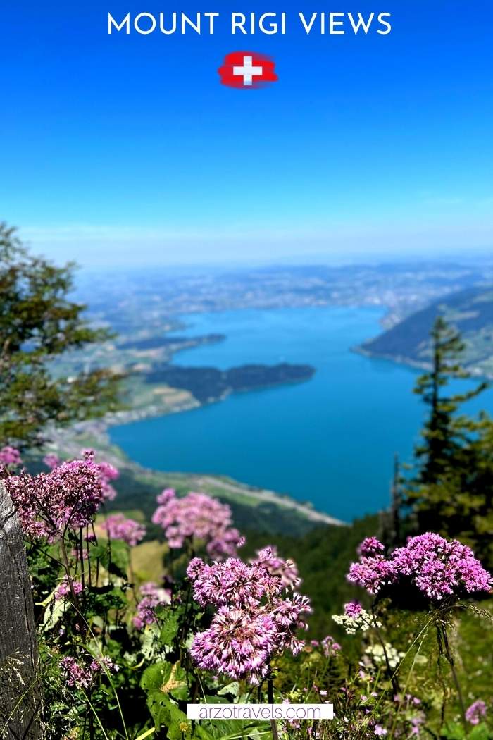
Another beautiful mountain view in the region of Lucerne is from Mount Rigi – The Queen of Mountains. This iconic mountain offers unparalleled panoramic views of the surrounding Alps, lakes, and countryside.
Lake Lucerne, one of the most beautiful lakes in Switzerland, is a beauty from above as well!
Compared to the other popular mountain in Lucerne, Mount Pilatus, Mount Rigi is quieter, and there are fewer activities. But it is still a “must-see mountain excursion in Switzerland”.
A luxurious spa at the top of the mountain offers more great views, and the restaurant at the summit is high-end with seats and shades outside. If you prefer to bring your own snacks and food, it is a perfect place for a great picnic.
The good news is that visiting the mountain peaks in and around Lucerne is amazing at any time of the year (and so is visiting Lucerne in winter, a good idea, too).
HOW TO GET UP MT RIGI
There are different ways to get up.
- My favorite way is to arrive at Vitznau station by boat (or bus/car) and then take the cogwheel car up.
- The other option includes a train ride from Arth-Goldau Station near Lucerne. This second option is, in my opinion, much less scenic, and I would opt for the first option.
PRICES FOR ADULTS
- Prices for a return ticket are around 78 CHF
- Free with the Swiss Travel Pass.
When visiting Mount Rigi, the best place to stay is in Lucerne – read my tips on places to stay in Lucerne.
Jungfraujoch
- Altitude: 3454 meters above sea level (11,333 feet)
- Location: In the region of Jungfrau
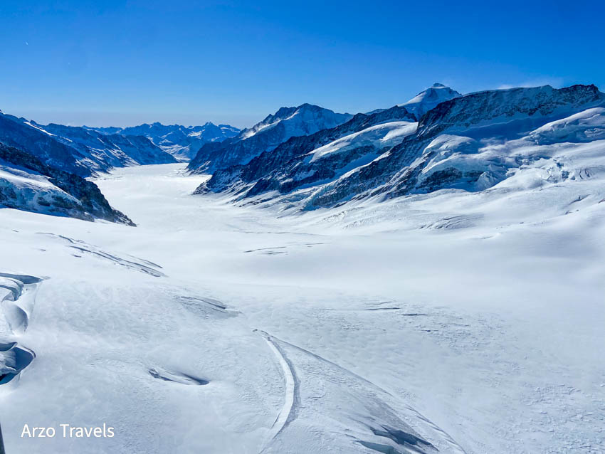
This is probably the most famous mountain trip in Switzerland: a day trip to Jungfraujoch. Jungfraujoch, known as the “Top of Europe,” is a stunning alpine wonderland offering breathtaking views of the Aletsch Glacier and much more.
Being Europe’s highest train station, standing at 3454 meters above sea level, expect to pay a bit more than you do for other stations. The train ride takes quite a while, and there are several stops, so if you plan to get up Jungfraujoch, you should plan in a full day.
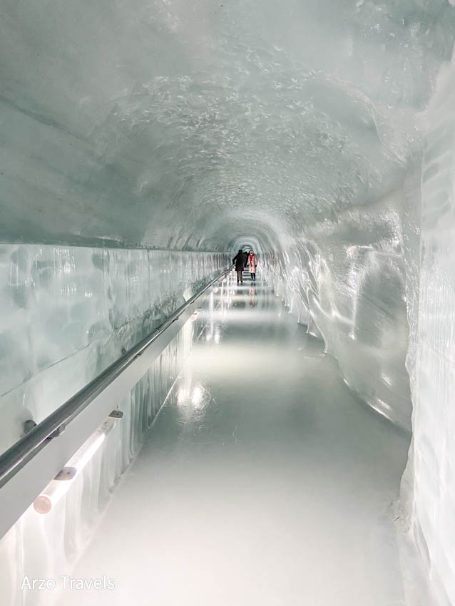
Jungfraujoch has more than great views to offer: The Ice Palace is amazing, not forgetting the Sphinx viewpoint. You can see the Aletsch Glacier (UNESCO World Heritage) from Jungfraujoch, and you will not be able to help but stare at nature´s gigantic masterpiece.
I have been there in winter and summer – and there is quite a lot to do at any time of the year. I saw the Ice Palace, Alpine Sensation, and the Sphinx Platform, as there is a snow guarantee on Jungfraujoch all year round.
HOW TO GET TO JUNGFRAUJOCH
As so often, there are several ways to get up to the stunning Jungfraujoch (by the way, hiking all the way up is more or less impossible).
- Start your trip either in Grindelwald or Lauterbrunnen. From both towns, you can take a train to Kleine Scheidegg. There, take the Jungfrau Railway that gets you up to the top (with one more stop in between). These train rides are extremely scenic yet time-consuming, so there is a faster way to get up/down now.
- Now, you can also take the Eiger Express Gondola from Grindelwald to Eigergletscher and then take a train up (which will help you save time).
PRICES FOR ADULTS
- It depends on what time of the year you get up and from where you need a train ticket, but a return ticket from Grindelwald is about 210 CHF.
- Discounts with the Swiss Travel Pass and some other passes. Also, the train ride to Wengen (from Lauterbrunnen) is free with a Swiss Travel Pass, and you´d only need a ticket for the rest of the journey.
Schilthorn
- Altitude: 2,970 meters above sea level (9,744 feet)
- Location: In the region of Jungfrau
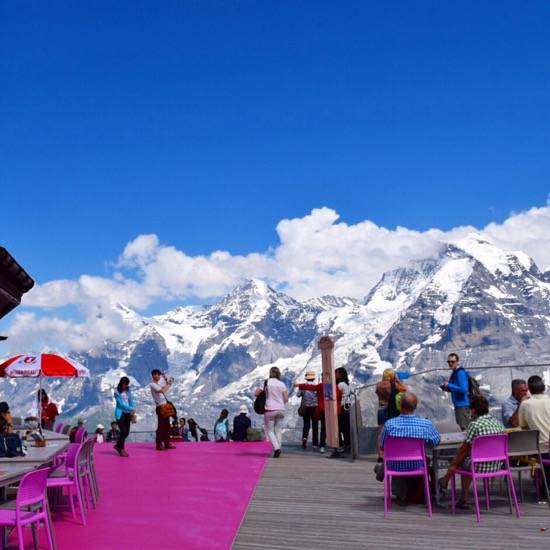
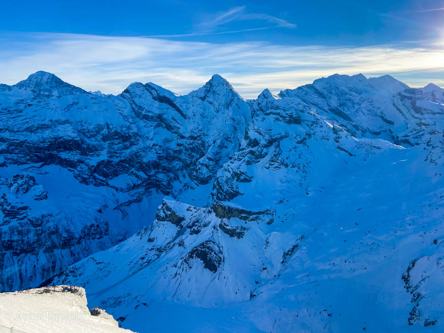
Schilthorn, standing at 2,970 meters (9,744 feet) in the Bernese Alps of Switzerland, is famed for its striking panoramic views of the iconic Eiger, Mönch, and Jungfrau peaks, also known as the Swiss Skyline While skyline normally means the “artificial horizon that a city’s overall structure creates,” – in Switzerland, the skyline is created by the amazing natural scenery.
But there is more: “Shaken, not stirred.” I admit I still have not watched the James Bond movie “On Her Majesty’s Secret Service” filmed here!
It does not matter if you are a 007 fan or not – you can have an incredible day at Schilthorn. And if you are a James Bond fan, you will have even more things to do at Schilthorn than just enjoying the great views.
In addition to that, you have the Piz Gloria, which you might recognize from the James Bond movies – a restaurant that rotates around its axis in 45 minutes – and a James Bond museum where you can not only learn about the movie creation but also let your inner child out, or the inner James Bond, and pretend to be 007 and act out some scenes (they even have – vegetarian – 007 burgers).
Schilthorn is also a gateway to thrilling outdoor activities, including hiking, skiing, and paragliding. The Thrill Walk at Birg station, part of the ascent, provides an adventurous path along the cliffside, adding to the mountain’s allure for adventure seekers.
HOW TO GET TO SCHILTHORN
There are different ways to get up Schilthorn, which might sound confusing, but it is not.
- From Interlaken or Lauterbrunnen. Take the gondola from Lauterbrunnen to Grütschalp. From there, take the scenic 20-minute train to Muerren (Mueren is a car-free village). Once there, walk through the pretty village of Muerren (a 10-minute walk) and go to the cable car station to get to Schilthorn.
- On your way down, you can get from Schilthorn to Muerren. But instead, you now take the gondola from Muerren to Stechelberg. This allows you to see the Lauterbrunnen from a different perspective. From Stechelberg, take the bus back to Lauterbrunnen.
PRICES FOR ADULTS
- It depends on which route you choose, but it will be around CHF 108
- With a Swiss Travel Pass, you can get to Mürren for free and then pay around 44 CHF for the return ticket.
Ebenalp Mountain
- Altitude: 1,640 meters above sea level (5,380 feet)
- Location: Appenzell
Ebenalp, nestled in the Appenzell Alps of northeastern Switzerland, rises to 1,640 meters and is renowned for its idyllic landscapes and traditional Swiss ambiance.
I have to admit that you need to do some hiking – I still added this to this list as it is an amazing Swiss excursion and the required hiking is little.
After getting to the summit by cable car (the shortest ride of all the mentioned rides here), you can do a five-minute hike up to reach the Ebenalp Guesthouse. There you can chill, dine, have a coffee, or walk around – with great views of paragliders and Lake Seealpsee.
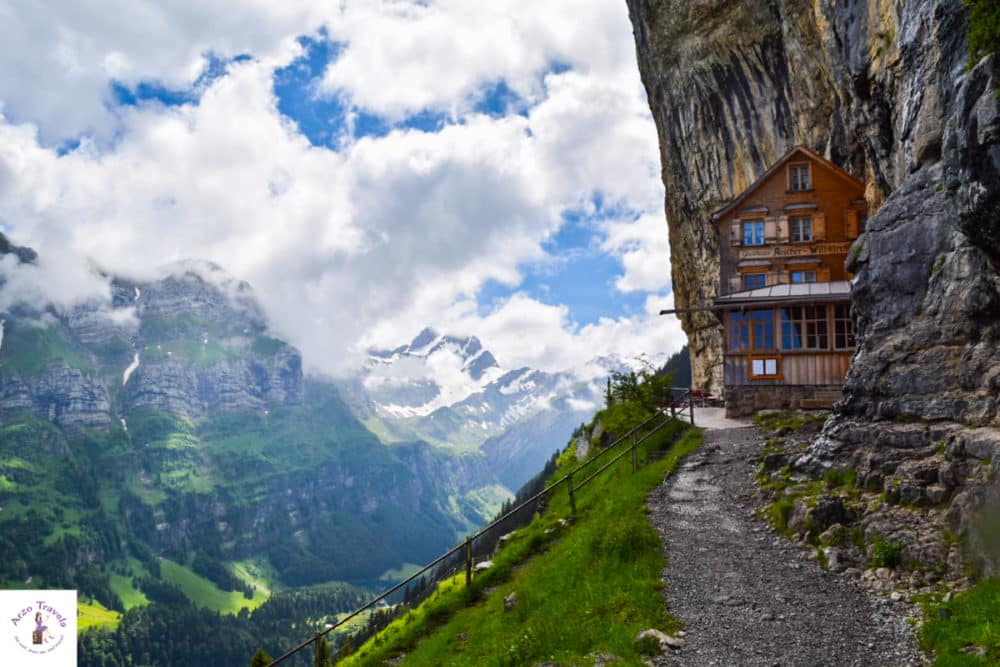
From the summit, I strongly recommend hiking down (sorry, some hiking is required to enjoy the views to the fullest, and if I can do that, you can do it). The hike down serves two purposes, and one of them is to see the legendary cliffside restaurant THE AESCHER.
This place looks amazing, especially during the summer. The terrain looks great from whichever vantage point of the summit you stand. The meadow and rock walls add to the fantastic scenery. It is not a surprise that the Aescher has become world-famous.
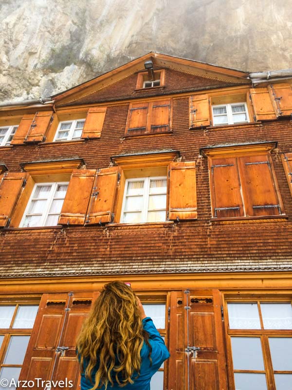
You cannot stay there overnight anymore, but The Aescher is a restaurant/mountain hut now, where you can eat and drink for a reasonable price (Switzerland standard). Even the toilet looked very cute and had its own unique mountain charm.
HOW TO GET TO EBENALP MOUNTAIN
- The journey starts at Wasserauen station in Appenzellerland (you can also get there by car). From there, hop onto the cable car, which runs regularly.
PRICES FOR ADULTS
- 36 CHF for a return ticket.
- 50% discount with a Swiss Travel Pass
Wondering about the best places to stay in Switzerland? Then click here to find out.
Cardada Mountain
- Altitude: 1,671 meters above sea level (5,482 feet)
- Location: Ticino
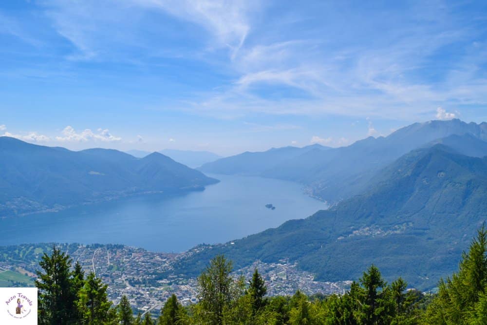
Of course, the Italian-speaking part of Switzerland is not short of amazing mountains either – Cardada Mountain is one of them.
Driving in this part of Switzerland was the most challenging for me (due to the mountains, narrow streets, and fast drivers in the mountains), and therefore, I enjoyed the cable car ride even more.
The panorama from Cardada Cimetta on Lake Maggiore is just breathtaking – and the easily accessible trip to Cardada has also made it in my top twelve of the best mountain views and mountain excursions. This place has beautiful wildlife, including birds, and the panoramic views of the surroundings are amazing!
Getting up Cardada Mountain is also one of the best things to do in Locarno.
HOW TO GET TO CARDADA CIMETTA
You guessed it: there are several ways to get up Cardada Mountain.
- From Locarno, get on the funicular to Orselina. From Orselina, take the aerial cableway (cable car) to the top of Cardada.
- You can also drive up to Orselina by car (finding parking might be difficult) or take the bus to Orselina. From there, the cable car goes to the top.
PRICES FOR ADULTS
- There are different prices in summer/winter. Prices start from 44 CHF from Orselina.
- 50% discount on the cable car ride from Orselina to Cardada and a smaller discount for the funicular from Locarno to Orselina.
Uetliberg in Zurich
- Altitude: 869 meters above sea level (2,850 feet)
- Location: Zurich
Uetliberg offers a panoramic view of the entire city of Zurich and Lake Zurich- making it a popular local getaway for both residents and tourists.
Okay, some might wonder why Uetliberg has made it onto my list. The truth is that I love Zurich, and the view over Zurich and Lake Zurich is amazing.
The summit features a hotel, a restaurant, and the Uetliberg Tower, which provides an even higher vantage point for breathtaking views. Its well-marked trails are ideal for hiking and mountain biking, attracting outdoor enthusiasts year-round.
A bit of hiking is required to get to the top, but it is just a few minutes and worth it.
If you want some quiet time alone, this is the place to be. Certain spots would be great for meditation, especially in the forests, but it is also the perfect location for hiking, cycling, paragliding, and more.
Uetliberg’s proximity to Zurich, combined with its natural beauty and recreational activities, makes it a unique urban retreat.
HOW TO GET TO UETLIBERG
- From Zurich train station, take the Sihltal-Zürich-Uetliberg-Bahn SZU and get off at Uetliberg Station. It takes a few minutes of hiking.
PRICES
- The train ride up Uetliberg is free with a Zurich Card or a Swiss Travel Pass.
Harder Kulm
- Altitude: 1,322 meters above sea level (4,337 feet)
- Location: Interlaken
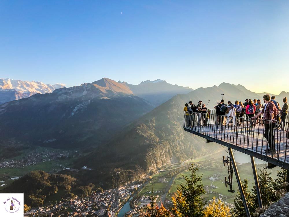
Harder Kulm (also known as the Top of Interlaken), often dubbed as Interlaken’s local mountain, offers one of the most stunning viewpoints in the Bernese Oberland region of Switzerland, including views of Interlaken and the Eiger, Mönch, and Jungfrau Mountain peaks.
The two-lake footbridge is a good and popular vantage point, and from Harder Kulm, you get spectacular views of Lake Thun and Lake Brienz.
Though Harder Kulm is said to be the easiest hike in that area, it is also easy to get there by cable car.
The summit also hosts a restaurant with a panoramic terrace, providing a perfect setting to enjoy the majestic alpine scenery. Harder Kulm is not just a visual treat; it also serves as a starting point for various hiking trails, making it a popular destination for both sightseers and hikers.
The spot is particularly charming at sunset, offering a magical view as the alpine glow descends over the peaks.
Obviously, as a huge fan of Interlaken, I have several mountains in that region included in this post, and Harder Kulm had to be one of them.
HOW TO GET TO HARDER KULM
- From Interlaken Ost Station (bus, boat, and train station) you can see the funiculars going up already. It is just a 2-minute walk from Interlaken Ost Station. There, you take the funicular.
PRICES FOR ADULTS
- 38 CHF for a return ticket
- 50% discount with a Swiss Travel Pass
Click here to read about the best places to stay in Interlaken – for each budget.
Klein Matterhorn – Matterhorn Glacier Paradise
- Altitude: 3,883 meters above sea level (12,740 feet)
- Location: Zermatt
Klein Matterhorn, also known as the Matterhorn Glacier Paradise, is one of the highest accessible points in the Alps. Situated in Switzerland near the Italian border, it offers unparalleled views of the Matterhorn and surrounding peaks.
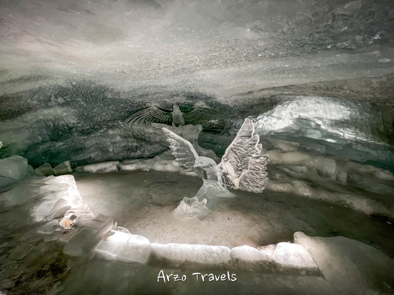
A breathtaking world of snow and ice, home to the highest glacier palace in the world, complete with ice sculptures and tunnels. Klein Matterhorn is a gateway to the ski area of Zermatt, providing year-round skiing and snowboarding opportunities.
Its high-altitude location makes it a favorite for mountaineers and adventure seekers, offering challenging climbs and spectacular vistas.
Glacier Palace offers more fun as it has ice sculptures. Explore, learn, and have fun as much as you can. If you love anything related to snow and glaciers, this is the place to be.
The excursion to Klein Matterhorn is not just about the views; it’s a unique journey into the heart of the high Alps.
TIP: Remember that the altitude is extreme. I thought I would be fine, but I got dizzy up there, so make sure to stop along the way to get used to higher altitudes and drink a lot of water.
INFO: Though known as the Klein Matterhorn, it is actually NOT the Matterhorn Mountain.
HOW TO GET TO KLEIN MATTERHORN
- Start your journey in Zermatt. Since it is a car-free town, you need to take a train there (you could leave your car in Taesch near Zermatt and then hop on a train). In Zermatt, walk to the valley cable car station and take the cable car to reach this place.
PRICES
- Prices start at 95 CHF for a return ticket.
- 50% discount with a Swiss Travel Pass.
Gornergrat
- Altitude: 3,135 meters above sea level (10,285 feet)
- Location: Zermatt
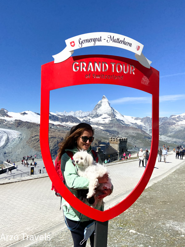
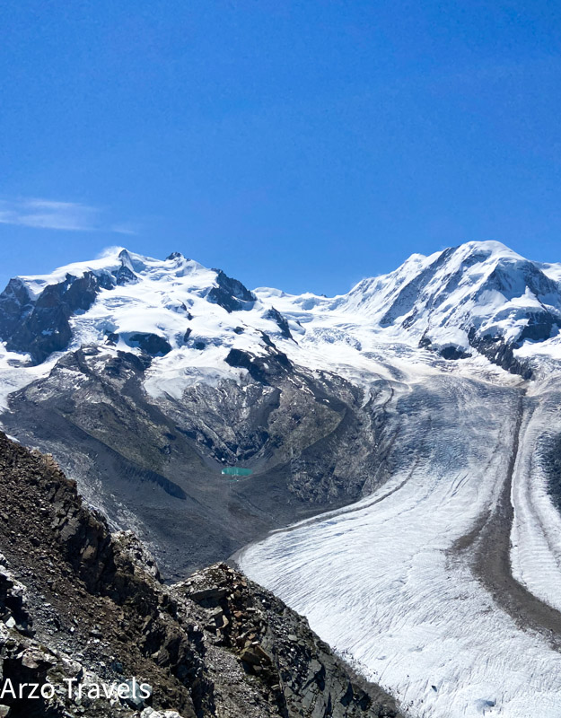
Gornergrat is another beautiful mountain standing at about 3135 meters above sea level (almost 900 meters lower than Klein Matterhorn). The scenic ridge in the Swiss Alps is known for its stunning panoramic views, including the iconic Matterhorn.
Up Gornergrat, the views of the surrounding mountains and a glacier are breathtaking. Luckily, the sky was clear, which allowed me to enjoy this day trip even more.
Accessible by the Gornergrat Railway, one of the highest cogwheel railways in Europe, it offers a spectacular journey through alpine landscapes.
You can see the highest mountain in Switzerland – Mount Rosa (also known as the Dufourspitze), which stands at 4,634 meters above sea level.
There are telescopes (free to use) that also give you all the names of the mountains you can see.
The summit features a hotel, observatory, and restaurant, making it a popular destination year-round.
Gornergrat is not only a viewpoint but also a starting point for hikes and a gateway to skiing in winter. The area is famous for its diverse flora and fauna, making it a paradise for nature lovers and photographers.
Just in June 2021, a new attraction opened at Gornergrat – Zooom the Matterhorn. It is an interactive museum with virtual activities like paragliding. Virtual paragliding in Zermatt was really, really great. It is just a short experience (3 minutes) but good enough for me.
HOW TO GET TO GORNNERGRAZ
- Start your journey in Zermatt. Since it is a car-free town, you need to take a train there (you could leave your car in Taesch near Zermatt and then hop on a train). In Zermatt, walk to the valley funicular station and hop on a funicular to reach the top.
PRICES
- Prices start at 88 CHF for a return ticket.
- 50% discount with a Swiss Travel Pass
Schynige Platte
- Altitude: 2,076 meters above sea level (6,886 feet)
- Location: Interlaken
Schynige Platte, nestled in the Bernese Oberland region of Switzerland, stands as a high mountain ridge. This area is renowned for its traditional alpine charm and is accessible via a nostalgic cogwheel train, offering a picturesque journey from Wilderswil.
If you get out of the cable car, you have breathtaking views of Eigner, Mönch, and Jungfrau Peaks – also known as the Swiss Skyline.
There is a restaurant, and it is the perfect spot to chill and enjoy views from Schynige Platte to its fullest: You have to hike a bit because it holds more spectacular views this way.
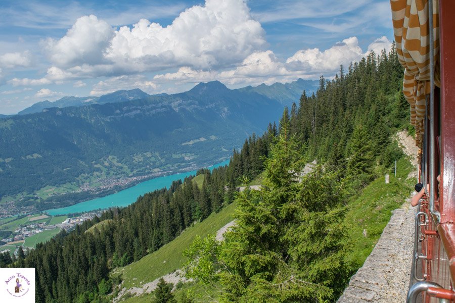
Hike to the other side (about 15-30 minutes), and you´ll have a dramatic change of scenery – overlooking Lake Brienz and Lake Thun.
To have a perfect view of Lake Thun and Lake Brienz, you have to hike a little.
You can use the path through the Alpine Garden, which features over 600 species of native plants in a natural setting. which is lovely.
To enjoy both views, some hiking is essential, but believe me, it is worth it!
HOW TO GET TO SCHYNIGE PLATTE
Get to Wilderwil station (by train or car). From there, you take the cable car to get up.
PRICES
- A return ticket is 64 CHF
- 50% discount with a Swiss Travel Pass
Niederhorn Mountain
- Altitude: 1,950 meters above sea level (6,440 feet)
- Location: Interlaken
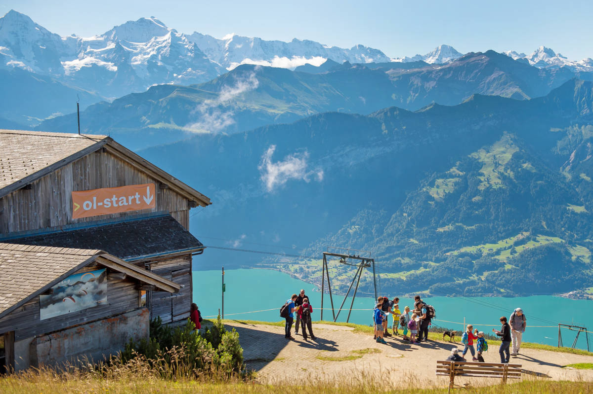
Niederhorn, a striking mountain peak in the Bernese Oberland Region, offers an exceptional panoramic view of the Bernese Alps, encompassing Lake Thun and the verdant Justistal.
Niederhorn Mountain had also made it onto this list, though it was a bit foggy when I visited. As one of Switzerland’s mountains that needs no hiking to enjoy the view, you will enjoy every moment you spend here – even on a foggy day (but I would definitely choose a not-so-foggy or rainy day).
You will find a playground for the kids at the summit while the adults can enjoy a coffee with a view. There is more to do, though – especially for those interested in action. Paragliding, for example.
But have you heard of trotti-biking? Trotti-biking is “scooter-like bike without a seat” – you could also try that out.
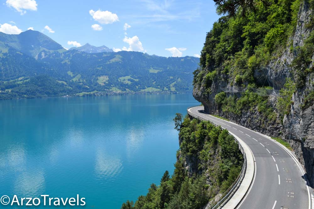
With a view of Lake Thun, it is never wrong to do an excursion in Switzerland to Niederhorn. Here are more tips for Lake Thun.
HOW TO GET TO NIEDERHORN MOUNTAIN
I probably should not give any directions as I got it wrong and ended up in the wrong station, but as I somehow managed to get up, I will give you directions (I double-checked for you). There are different ways to get up.
- If you have a car, you can get to Beatenberg. Alternatively, you can take the Postauto (yellow bus). From there, you can take the cable car to get up to Niederhorn Mountain.
- Alternatively, you can take the funicular from Beatenbucht to Beatenberg. In Beatenberg, you disembark and get on another funicular that takes you up all the way to Niederhorn.
PRICES FOR ADULTS
- Beatenbucht to Niederhorn Mountain is about 59 CHF from Beatenbucht
- If you start from Beatenberg, it costs 43 CHF for a return ticket.
- Discounts with a Swiss Travel Pass.
Brienzer Rothorn
- Altitude: 2,351 meters above sea level (7,710 feet)
- Location: Interlaken
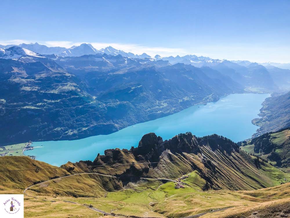
Brienzer Rothorn, towering at 2,350 meters, is a captivating peak in the Swiss Alps, known for its exceptional panoramic views of Lake Brienz and the surrounding Bernese Oberland.
It is actually my absolute favorite mountain trip. A trip of a lifetime that blew me away! This mountain trip amazed me more than any other, and I am sure you´ll have a great day as well on Brienzer Rothorn.
There are two reasons I have concluded that Brienzer Rothorn offers the best mountain views and is one of the best mountain trips in Switzerland. First, the ride up in an old steam locomotive is one the best train rides I have had – the stunning panorama is great all the time.
Secondly, Lake Brienz, one of my favorite lakes, can be seen almost all the time on the way up. Lake Brienz creates such a beautiful view from the mountain that you will not be able to get enough of it. The water looks amazing! The green vegetation looks amazing! The meadows, forests, cows… it all looks amazing! Even the clouds add to the beauty of the place.
The steam locomotive takes about one hour to get up, and it is not wasted time!
I enjoyed every single moment. Seriously. Every: Single. Moment! If you ask me I will tell you: Take that trip! Check out my guide on Brienzer Rothorn.
HOW TO GET TO BRIENZER ROTHORN
- The steam locomotive starts from Brienz Station. Get there by boat or train. The steam locomotive station is just behind the train station. You can buy tickets there and get up.
PRICES FOR ADULTS
- About 96 CHF
- 50% discount with your Swiss Travel Pass
St. Beatus Caves
- Location: In the canton of Bern, in the region of Interlaken
This mountain view is different – amazing views are part of visiting Switzerland, and you will have many great panoramas even if you do not get to a mountaintop.
Vantage points are spread throughout the country! So, to enjoy this amazing vista, you do not even have to go to a mountain peak.
St. Beatus Caves is a cave that you can visit. The St. Beatus Caves are a series of impressive natural caves located above Lake Thun, known for their stunning stalactites, stalagmites, and large halls.
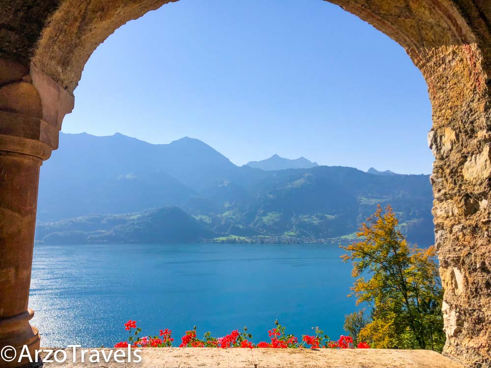
But it is also about great views. Whether you have lunch at the restaurant (that comes with those views!) or stroll down to the famous viewpoint (see picture below), the views are…pretty.
And this view is amazing because a) it does not require much hiking (you have to do an uphill hike of about 10-20 minutes) and b) you do not have to pay a crazy amount for the mountain rides (yes, you can drive close to the caves – or take a bus or boat – and then walk up… and c) are not that pretty views???
HOW TO GET TO ST. BEAUTUS CAVES
- You can get to St.Beatus Caves by bus, car, or boat. There is a 10-minute uphill walk, so it requires some physical exercise, but it is still worth it.
PRICES FOR ADULTS
- The views are free, and entrance fees for the caves are around 19 CHF.
Check out my St. Beatus Caves guide to find out more about this gem.
Piz Corvatsch
- Altitude: 3,303 meters above sea level (10,836 feet)
- Location: St. Moritz in the Engadine Valley
What a view! What views! What views!
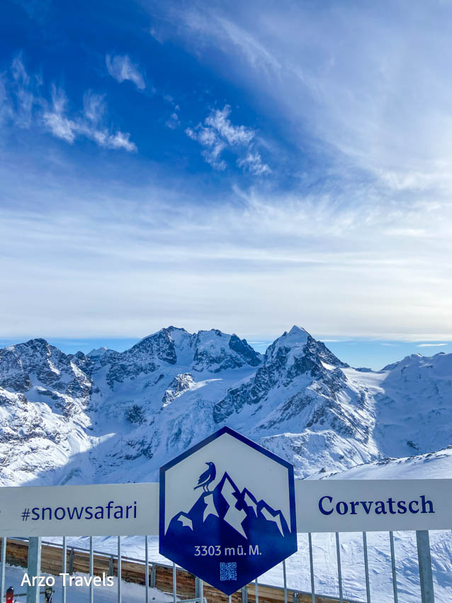
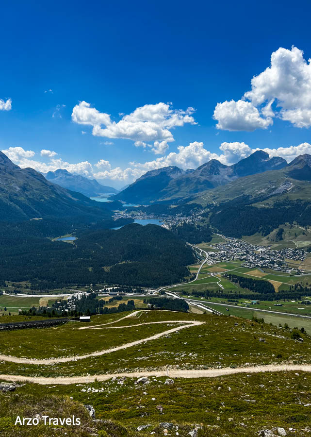
For the best panorama in St. Moritz and the Engadine Valley, make sure to go to the top of Piz Corvatsch – a mountain peak in the Bernina Range of the Alps. It is the highest peak, at about 3300 meters above sea level, in a region easily accessible via cable car/funicular.
The views are AMAZING. In all honesty, this was my favorite mountain excursion in all of St. Moritz and Engadin (and there is quite a bit of competition) – if not in ALL of Switzerland.
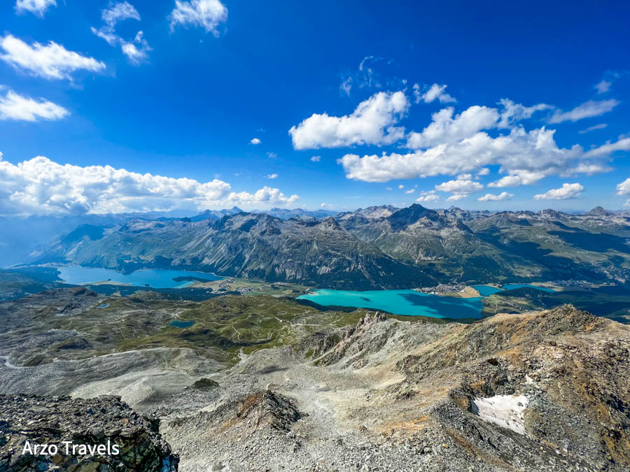
On the one side, you have a fantastic panorama of Lake Sils, Lake Silvaplana, and Lake Cahmpfer with the mountains in the background, and on the other side, you have the mighty glaciers.
It is also the perfect starting point for certain hikes – I will talk about those later on. But even if you are not into hiking…the views…the views! I have been there in summer and winter and both seasons are fantastic for this mountain trip.
HOW TO GET TO CORVATSCH
- From St. Moritz, get to Corvatsch Talstation Surlej (at 1,870 meters) by bus. Then take the gondola to Corvatsch Mittelstation Murtel (at 2,702 meters) before getting on another gondola that will bring you up Corvatsch Bergstation.
- Check out my more detailed guide on how to get up to this stunning Swiss mountain summit.
PRICES FOR ADULTS
- Return tickets are 64 CHF from Corvatsch Talstation Surlej to the mountain station of Corvatsch.
Muottas Muragl
- Altitude: 2,455 meters above sea level (8,054 feet)
- Location: St. Moritz in the Engadine Valley
Another popular mountain excursion in the region of Engadine is Muottas Muragl at 2.455 meters above sea level. It is located on the southern slopes of the Blais da Muottas, a summit at the western end of the range descending from Piz Vadret.
These views are said to be the most beautiful in Engadin because you have the Engadin Valley – between the towns of Samedan, St. Moritz, and Pontresina – laid out before you.
The panorama is indeed great, though I am not sure if it is the best. I liked the views from Piz Corvatsch even more. This, however, is one of the best spots to watch the sunset and is well worth a mountain trip.
Besides a mountain restaurant, this is the perfect starting point for some hikes.
HOW TO GET TO PUNT MURAGL/ MUOTTAS MURAGL
- Just take the no. 1 bus from St. Moritz train station to Punt Muragl station. From there, hop on the funicular, which will drop you off directly at the top.
PRICES FOR ADULTS
- Return tickets are 41 CHF
Diavolezza
- Altitude: 2,958 meters above sea level (9,704 feet)
- Location: Grison
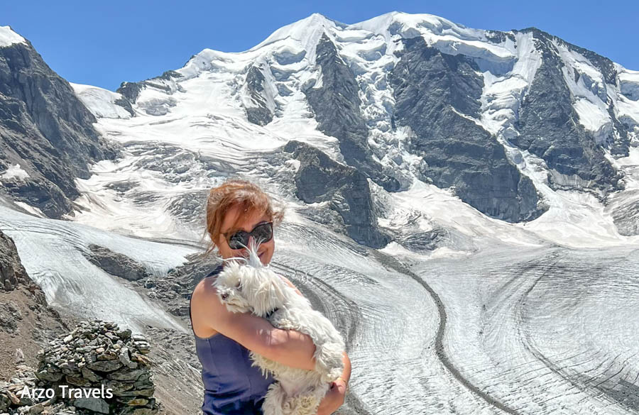
Here we are again – in the canton of Grison, near St. Moritz – you have another top mountain excursion: Diavolezza, which is a col and ski resort above Val Bernina. The col has an altitude of 2,958 meters and is located between Munt Pers and Piz Trovat.
You can see the 4,000-meter Piz Bernina and the impressive Piz Palü rise up before you, as well as the Pers Glacier and Morteratsch Glacier beneath your feet.
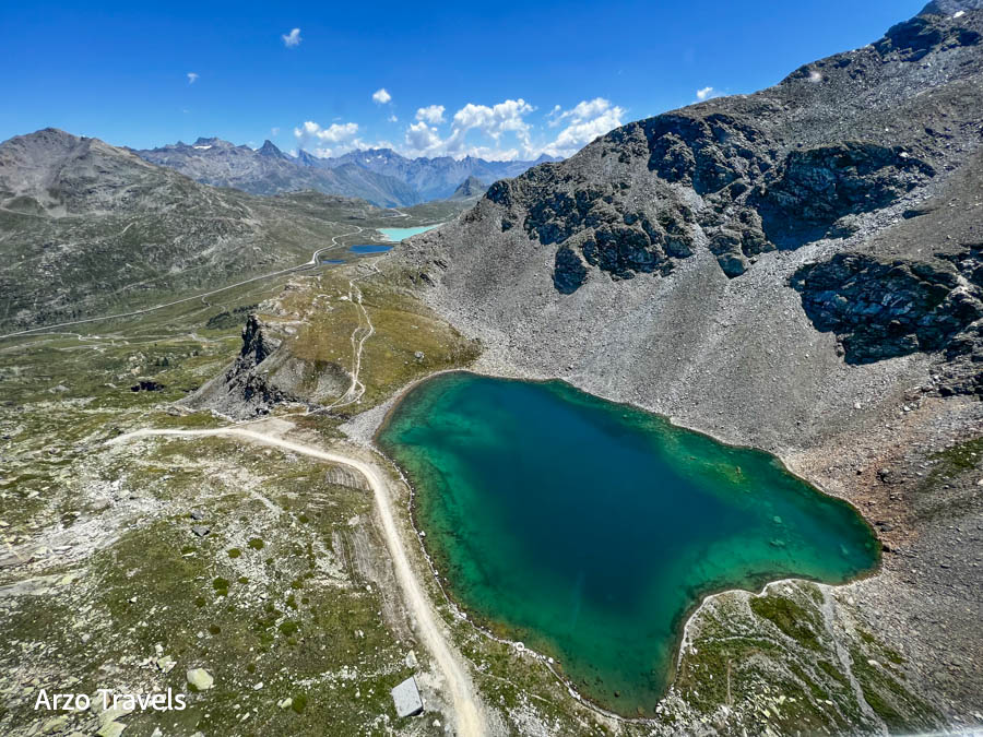
Oh wow! I visited four times so far, twice in October, once in the winter, and once in the summer – all trips were amazing. However, I liked the summer trip probably more because not everything was covered in snow, and I could see the lakes around.
Also, this cable car operates while other cable cars are already closed in October.
On the way up, you have several stunning lakes below your feet – what a view!
Also, the virtual reality experience at the Valley station is free. You get some interesting background information on glaciers and more.
In summer, you can also book some time in the hot tub, which comes with a view of the glacier. Yes, the Swiss know how to make money.
HOW TO GET TO DIAVOLEZZA
Diavolezza is located a bit farther from St. Moritz.
- Take a local train to Tirano and get out at Bernina Diavolezza (about 45 minutes). There, you have a huge gondola waiting for you, ready to beam you up in a few minutes.
PRICES FOR ADULTS
- 44 CHF for a return ticket
Alp Grüm
- Altitude: 2,091 meters above sea level (6860 feet)
- Location: Grison
The next one is one of my favorite mountain views because of…the view. Also, it is easily accessible by train.
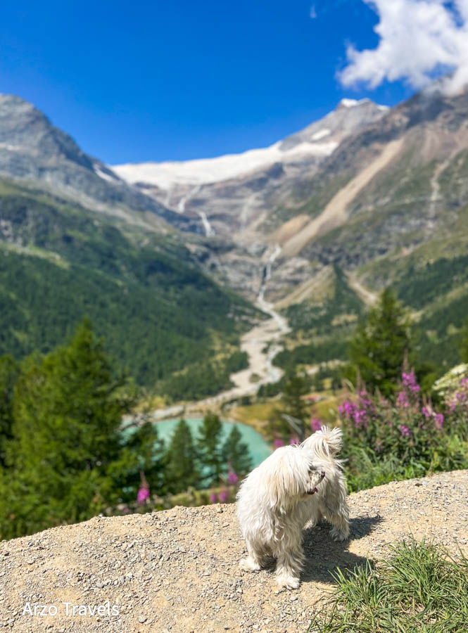
Following a breathtaking journey on the Bernina Line, acclaimed as one of the world’s most scenic train routes, you will be captivated by the panoramic vistas from the sun-drenched terrace of Ristorante Alp Grüm, situated at 2091 meters elevation.
The landscape unfolds across the Val Poschiavo, reaching the Bergamasque Alps, with the majestic “Vadret da Palü” glacier dominating the western skyline.
Alp Grüm station, at 2091 meters above sea level, offers some of the most unique panoramas – the station was constructed in 1923 with a restaurant and a guest room. If you can book a room there, you can even enjoy a full day of amazing views of the Palu Glacier with the Palu Lake and the Alps.
HOW TO GET TO ALP GRÜM
- Take a train and head to Alp Grüm. You do not have to take the official “Bernina Express,” but instead take the local trains that have the same route.
PRICES FOR ADULTS
- Free with a Swiss Travel Pass – for the Bernina Express, you have to pay a reservation fee with a Swiss Travel Pass; local trains do not require a reservation (and no extra fee).
Monte San Salvatore
- Altitude: 912 meters above sea level (2992 feet)
- Location: Grison
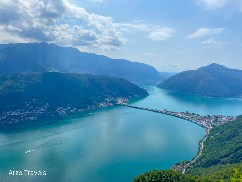
If you plan to visit one mountain peak only in Lugano, then it could (should) be Monte San Salvatore, standing at 912 meters above sea level.
Yes, I know 912 meters above sea level is not that high compared to the 2000 or 3000 meters we had spoken about prior. However, look at the pictures. Are not the views not totally gorgeous?
San Salvatore, Lugano’s iconic home mountain, is a true pinnacle of pleasure! This prominent peak, situated to the south of the town, offers breathtaking 360-degree views encompassing the lake and its surrounding areas, extending far into the south and reaching the high Alps in the west.
Lake Lugano is, without a doubt, a beauty, and here it presents itself from its best side! You will also find a church, a restaurant, and a small museum at the top.
HOW TO GET THERE
- From Lugano, get to Lugano Paradiso Station by bus (it is just a short bus ride away). There, take the funicular to the top.
PRICES FOR ADULTS
- Return tickets cost 32 CHF
- 50% discount with a Swiss Travel Pass
BEST MOUNTAIN VIEWS IN SWITZERLAND
Switzerland is an incredibly beautiful country with many stunning mountain peaks and amazing views that can be enjoyed without having to go on a long hike. For those who are looking for an incredible experience without strenuous physical activity, Switzerland is an ideal destination to explore.
From lakeside towns and cities filled with historic architecture to picturesque mountain views, Switzerland has something for everyone. Whether you’re looking for a relaxing weekend getaway or a more adventurous experience, Switzerland offers the perfect combination of beauty and adventure.
So, if you want to enjoy the majestic nature of the Swiss Alps without having to exert yourself, don’t hesitate to plan your next trip to Switzerland!
Hopefully, these tips will help you plan your trip to enjoy the most beautiful mountain views in Switzerland.
- Where to stay in Switzerland? Here are the best areas and best hotels
- Top Swiss cities to add to your bucket list
- 10-day itinerary for Switzerland


